Breathtaking Walkways and Trails in Trás-os-Montes and Alto Douro - Part 1
- Azeite a Norte Blog

- Mar 11
- 6 min read
There are paths you never forget. Not because they're easy—but because what they reveal around each bend changes something inside you.
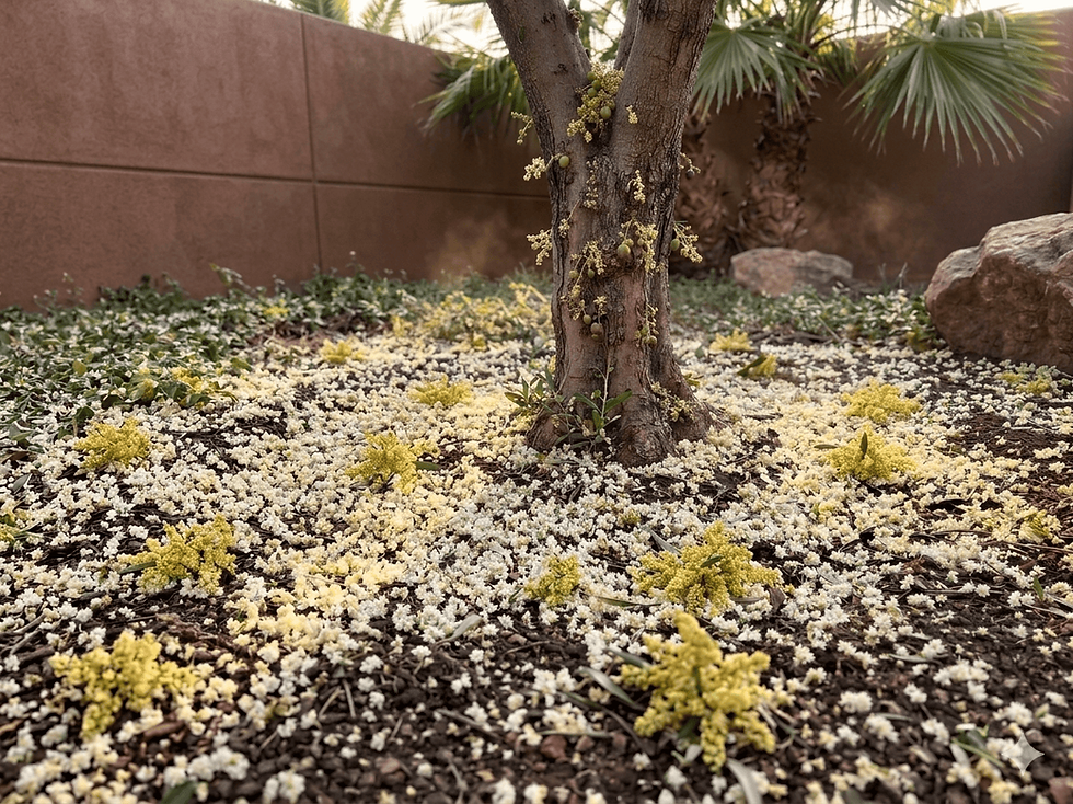
In Trás-os-Montes and Alto Douro, walking isn't a sport. It's another way of seeing. The steep slopes, the rivers carving their way through schist and granite, the abandoned railway lines reclaimed by nature—everything here invites you to slow down and pay attention to what lies beyond the screen.
This is Part 1 of a series dedicated to the most remarkable walkways and hiking trails in the region. There's much to discover—and the best is yet to come. For now, it begins here.
1. Côa walkways — Vila Nova de Foz Côa

Between two UNESCO World Heritage sites, 930 meters apart
📍 Vila Nova de Foz Côa | 📏 930 m (linear, 1.8 km round trip) | ⏱ ~45 min | ⚠️ Difficulty: Moderate
Opened in September 2022, the Côa Walkways are short in length—but not in intensity. There are 890 steps and a 160-meter elevation gain connecting the Côa Museum to the former deactivated Côa railway station, already offering views over the Douro River [1].
What makes this route unique in the world is what lies on both sides of the path: on one side, the Côa Valley Archaeological Park, with rock engravings dating back more than 20,000 years. On the other, the terraced vineyards of the Alto Douro Wine Region. Two UNESCO World Heritage sites—930 meters apart [2].
The route requires attention and appropriate footwear. On very hot days (and in summer, the heat in this hot land is real), the climb can be demanding—it is recommended to do it early in the morning. Children should always be accompanied by adults, given the elevation gain.
Parking is located on the upper floor of the Côa Museum. Access to the walkways is via the area next to the bar-restaurant, on the lower part of the building [2].
Note: From the viewpoints along the walkways, the olive groves that stretch across the Douro terraces are clearly visible — a reminder that this territory has been cultivated for millennia. The olives that produce our olive oil today grow on these same slopes that the route crosses with your eyes.
2. PR1 MDR — From the Arribas do Douro to São João das Arribas
The trail along the cliffs that starts from the last city in Portugal
📍 Miranda do Douro | 📏 ~23 km (circular) | ⏱ 7 to 8 hours | ⚠️ Difficulty: Moderate | 💶 Free entry
Miranda do Douro is, literally, the end of Portugal. To the east, the Douro River flows through granite canyons over 150 meters high, bordering Spain in one of the most isolated and impressive territories in the country. This is where this route begins.
The PR1 MDR starts next to the Cathedral of Miranda do Douro — one of the easternmost cathedrals in the entire country — and heads north along country paths towards the Castro de Vale de Águia, an ancient Iron Age hillfort with a natural viewpoint overlooking the cliffs. The walk continues through traditional villages of the Mirandese Plateau, such as Vale de Águia and Aldeia Nova, until reaching the highest point of the route: São João das Arribas [3].
From this viewpoint, classified as a National Monument, the views over the Douro Valley are breathtaking. The river meanders 400 meters below, between rock walls that plunge almost vertically — and on the other side, Spain. It is common to see griffon vultures and Egyptian vultures soaring over the cliffs here [3].
The return to Miranda is via the Fresno River, which flows past the city to the east, in a gentle descent that contrasts with the intensity of the cliff landscape. Along the way, you will also pass the Burro Mirandês Reception Centre in Pena Branca — the native breed that for centuries was a working companion in these lands [3].
Practical information: The route is marked with painted markings and has an interpretive panel in São João das Arribas. In Aldeia Nova, signage may be scarce on the stretch to Pena Branca — the use of GPS is recommended (available on Wikiloc). The route can also be done by mountain bike or on horseback [3].
Note: The Mirandese Plateau is home to centuries-old olive groves. Among the plateaus and villages that this trail crosses, it is possible to see how the olive tree and the holm oak have coexisted for centuries in this border territory.
3. PR1 Tua Trail — Mirandela
13 km following a river and the ghosts of a railway line
📍 Frechas → Mirandela | 📏 13.3 km (linear) | ⏱ ~3h30 to 4h | ⚠️ Difficulty: Easy/Moderate | 💶 Free entry
There are routes that are best experienced with the eyes. This is one of them.
The PR1 trail in Mirandela starts at the Frechas Pillory — classified as a Monument of Public Interest — and follows the right bank of the Tua River for 13 kilometers, until reaching the Mirandela Tourist Office. It is a route approved by the Portuguese Camping and Mountaineering Federation, with ever-present scenery and virtually no elevation change along its entire length [4].
What makes this trail special is not just the river. On the other side of the left bank, sections of the Tua Line are visible — the railway line that connected Mirandela to Bragança from 1887 and was progressively closed. The rails and sleepers are still there in many places, silent, reclaimed by the vegetation, in a kind of open-air museum of the industrial memory of Trás-os-Montes.
Leaving Frechas, the route passes through vineyards and quince orchards — in autumn, the scent of ripe fruit permeates the air. Further on, the valley opens up and the Tua River reveals its riverbanks with alders, willows, and areas of Mediterranean scrubland [4].
Practical suggestion: Leave your car in Frechas and take the route downhill (Frechas → Mirandela). In Mirandela, it is possible to return to the village of Frechas by metro (Mirandela Line). It is worth finishing with a stroll through the historic center of Mirandela and having lunch near the Roman Bridge — one of the best preserved in the northeast of Trás-os-Montes.
Note: Between Frechas and Mirandela, the olive groves that descend to the river remind us that this valley has always known how to produce. The olive oil from the Tua Valley has its own identity within the Trás-os-Montes PDO — the landscape revealed by this route tells exactly that story.
4. Foz-Tua Trail — Carrazeda de Ansiães
Where two rivers meet and time has stood still
📍 Foz-Tua, Carrazeda de Ansiães | 📏 3.5 km (linear) | ⏱ ~1h00 | ⚠️ Difficulty: Easy | 💶 Free entry

This is the route for those who want to experience the Alto Douro Wine Region with their feet on the ground — literally.
The Foz-Tua Trail begins near the Entrance Gate of the Vale do Tua Regional Natural Park and follows wooden walkways along the banks of the Douro River, with views over the terraced vineyards that make this landscape a UNESCO World Heritage Site. Halfway along, the Tua River flows into the Douro at a confluence that is unforgettable [5].
The route also passes by the Foz do Tua dam — a project by the architect Souto Moura — and the old Tua railway line, deactivated in 2008, whose wooden sleepers can still be walked along. The Vale do Tua Interpretive Center, near the starting point, is a must-see to understand the human and natural history of this line that connected the Douro to Bragança since 1887 [5].
During periods of high water, there is a properly signposted inland variant.
Note: Among the terraced vineyards, olive groves emerge. At this confluence of the Tua and Douro rivers, the landscape is a living map of the products that define the identity of Trás-os-Montes. The vine and the olive tree, side by side, as they always have been.
What to Bring on Any of These Routes
Before putting on your boots, a quick checklist:
Appropriate footwear — no sandals or gym shoes, especially on the Côa Walkways and the Foz-Tua Trail.
Sufficient water — in summer, the Douro and Côa region is one of the hottest in the country.
Flashlight — essential at dusk.
Sun protection — the trails have little shade in open areas.
Next Part of the Series
In Part 2 of the TMAD Walkways series, we'll explore lesser-known—but equally memorable—routes: the hidden waters of the Serra de Montesinho, the trails of the Douro Internacional in Miranda do Douro, and the paths through centuries-old olive groves that you won't find in any tourist guide.
Save this post so you don't miss any part of the series 🔖
References
[1] cm-fozcoa.pt — Projeto Passadiços do Côa (informação oficial do Município de Vila Nova de Foz Côa)
[2] beira.pt/turismo — Passear pelos Passadiços do Côa
[3] natural.pt/protected-areas/parque-natural-douro-internacional -PR1 MDR: De Miranda do Douro a São João das Arribas (Parque Natural do Douro Internacional)
[4] trilhosecaminhadas.pt/percursos/pr1-trilho-do-tua-mdl/ - PR1 Trilho do Tua
[5] cm-carrazedadeansiaes.pt - Trilho de Foz-Tua: um percurso pedestre de memória e identidade


Comments