Percurso Pedestre Geológico
PR24 MCD
You can get more out of your site elements by making them dynamic. To connect this element to content from your collection, select the element and click Connect to Data. Once connected, you can save time by updating your content straight from your collection—no need to open the Editor, or mess with your design.
Add any type of content to your collection, such as rich text, images, videos and more, or upload a CSV file. You can also collect and store information from your site visitors using input elements like custom forms and fields. Collaborate on your content across teams by assigning permissions setting custom permissions for every collection.
Be sure to click Sync after making changes in a collection, so visitors can see your newest content on your live site. Preview your site to check that all your elements are displaying content from the right collection fields. Ready to publish? Simply click Publish in the top right of the Editor and your changes will appear live.
Percurso Pedestre Geológico
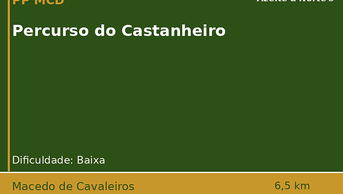
Ficha
Ficha
Ficha
Ficha
Ficha
Ficha
👨👩👧👦 Apto para famílias.
🐶 Apto para animais.
🧑🦼➡️ Com acessibilidade.
🫒 Passa no olival.
Sou um parágrafo. Clique aqui para adicionar e editar seu próprio texto. É fácil.
Sou um parágrafo. Clique aqui para adicionar e editar seu próprio texto. É fácil.
Sou um parágrafo. Clique aqui para adicionar e editar seu próprio texto. É fácil.
You can get more out of your site elements by making them dynamic. To connect this element to content from your collection, select the element and click Connect to Data. Once connected, you can save time by updating your content straight from your collection—no need to open the Editor, or mess with your design.
Add any type of content to your collection, such as rich text, images, videos and more, or upload a CSV file. You can also collect and store information from your site visitors using input elements like custom forms and fields. Collaborate on your content across teams by assigning permissions setting custom permissions for every collection.
Be sure to click Sync after making changes in a collection, so visitors can see your newest content on your live site. Preview your site to check that all your elements are displaying content from the right collection fields. Ready to publish? Simply click Publish in the top right of the Editor and your changes will appear live.
Experiências
Sou um parágrafo. Clique aqui para adicionar e editar seu próprio texto. É fácil.
Produtores
Sou um parágrafo. Clique aqui para adicionar e editar seu próprio texto. É fácil.
Alojamento
Sou um parágrafo. Clique aqui para adicionar e editar seu próprio texto. É fácil.
Sou um parágrafo. Clique aqui para adicionar e editar seu próprio texto. É fácil.
Sou um parágrafo.